Foxborough, Mass.
The area now known as Foxborough was inhabited by native americans before the colonists arrived as early as 1704. In 1778, the town was incorporated and named for the Honorable Charles James Fox. Often refered to as "The Gem Of Norfolk County", Foxborough is located equidistant from Boston, MA, and Providence, RI.
Maps
- Historical Maps
- Massachusetts 80-Meter Wind Map and Wind Resource Potential - Map
- NREL Wind Maps - Wind Energy in Massachusetts
- Biotech Municipalities
- Seismic Hazard Map of Massachusetts
- Massachusetts Seismicity Map - One Day EQ Map - Recent EQs in Massachusetts
- Massachusetts Earthquakes
- Northeast States Emergency Consortium: Map Your Risk
- ACME Mapper
- Google Map
- HomeTownLocator Map
- MapQuest
- Microsoft Virtual Earth
- The National Mapper
- TerraFly
- TerraServa DOQ
- TerraServer DRG
- Watershed Map
- WikiMapia - Sites
- Yahoo! Map
- EPA Maps
- 495/MetroWest Development Compact Plans/Maps
- Demographics Information
- Labor Market Information
- MassDEP Priority Resource Map
- MassMapper
- Statewide Map of Massachusetts Hospitals
- Heritage Landscape Atlas
- Interactive Population Map - Census.gov
- Proximity of Foxwoods & Mohegan Sun
- Proximity of Rhode Island Casinos
- MWRA Service Area
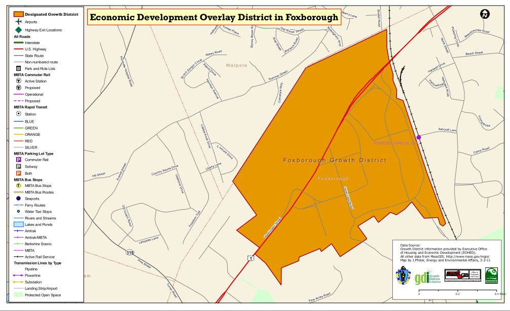
- Foxborough Growth District Map (Designated: November 20, 2008)
- Foxborough @MBDC
- FEMA Map Service Center
- FEMA Flood Map Viewer
- Flood Map Update Schedule 02035
- Drought Map 02035
- Condition Monitoring Observer Reports (CMOR) 2021
- Location Maps
- United States map showing location of Foxborough
- Massachusetts map showing location of Foxborough
- Norfolk County map showing location of Foxborough
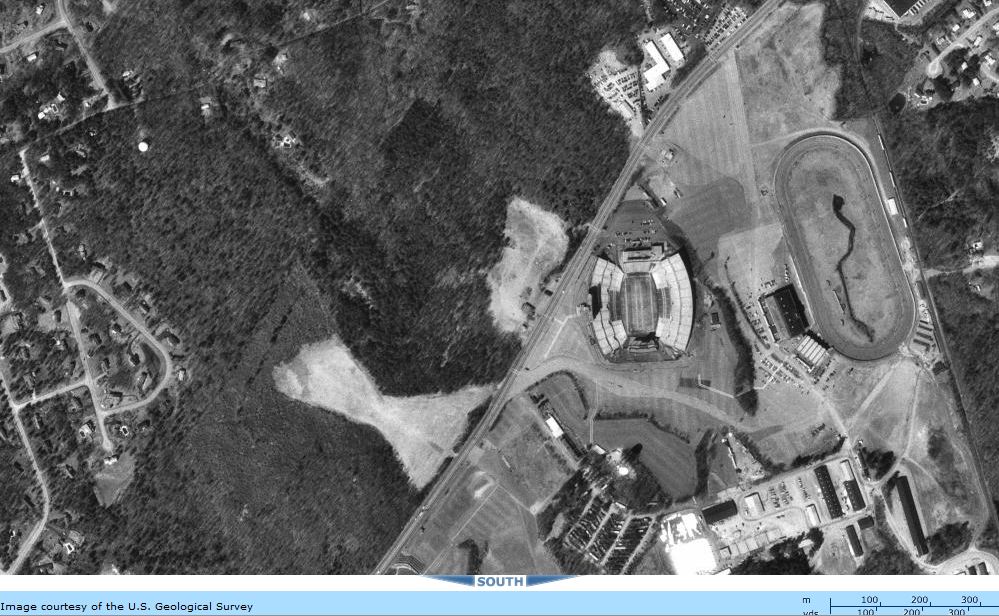
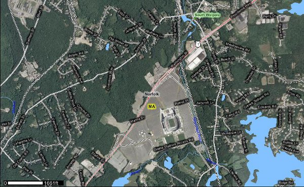
- Detailed map of Foxborough
- Real Time Lightning Map
- Climate Change Clearinghouse for the Commonwealth/RelientMA Maps
- USDA
- Plant Hardiness Zone (Foxborough = 6A)
- USAEPA Environmental Information by Location
- National Pipeline Mapping System (NPMS)
- Massachusetts 30-Meter Residential-Scale Wind Resource Map & Massachusetts 80-Meter Wind Resource Map
- Wind Energy Maps and Data
- Environmental Justice Communities
- Landsat State Mosaic from USGS
- Earth Observatory Maps
- Light Pollution Map
- World's Air Pollution: Real-time Air Quality Index
- 02035 Foxborough at FloodFactor.com
- 02035 Foxborough at MassBuilds
- CTPS All-Hazards Web Application Map
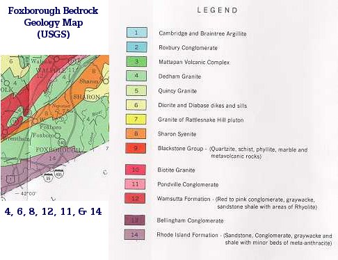
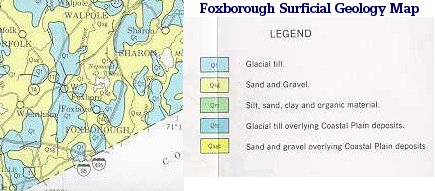
Geologic Units In Norfolk County

Neighborhoods In Foxborough
Lakeview, Donkeyville, Paineburg, Quaker Hill, Morseville, Foxvale,
and Powderhouse are some of the older neighborhoods in town.
Cannon Forge, Witch Pond, Governor's Meadow, and Chestnut Green are a few of the newer developments.
What Is Chapter 40B?
Chapter 40B is a state statute, which enables local Zoning Boards of Appeals to approve affordable housing developments under flexible rules if at least 20-25% of the units have long-term affordability restrictions.
